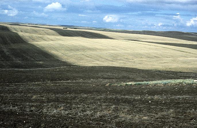
Strips of cereal crop and fallow land oriented perpendicular to the prevailing winds.
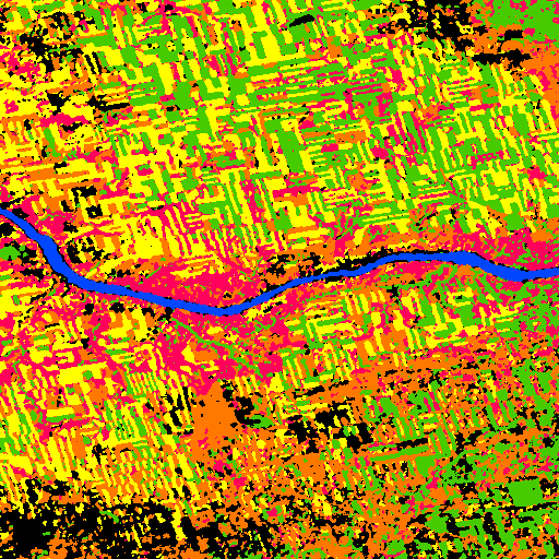
Classified subscene of Landsat MSS imagery from July, 1986; South Saskatchewan River valley, and adjacent prairie surface, upstream of Lake Defienbaker. Crop and fallow land are green and yellow, pasture is brown, shrub land is red, water is blue and unclassified area is black.
Return to article.