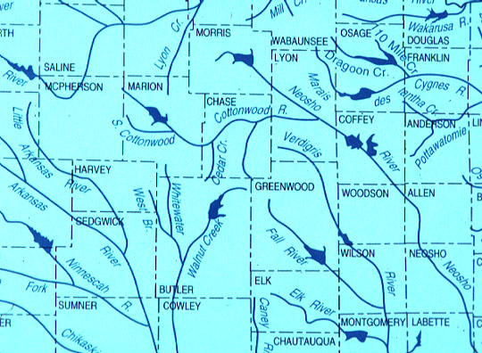
Rivers and Counties of East-central Kansas
This map depicts the rivers and counties of the study region in east-central Kansas.
Large reservoirs are indicated by blue patches. Landsat image covers portions of southern
Chase, northeastern Butler, and northwestern Greenwood counties. Original map obtained from
the Kansas Geological Survey.
Return to article